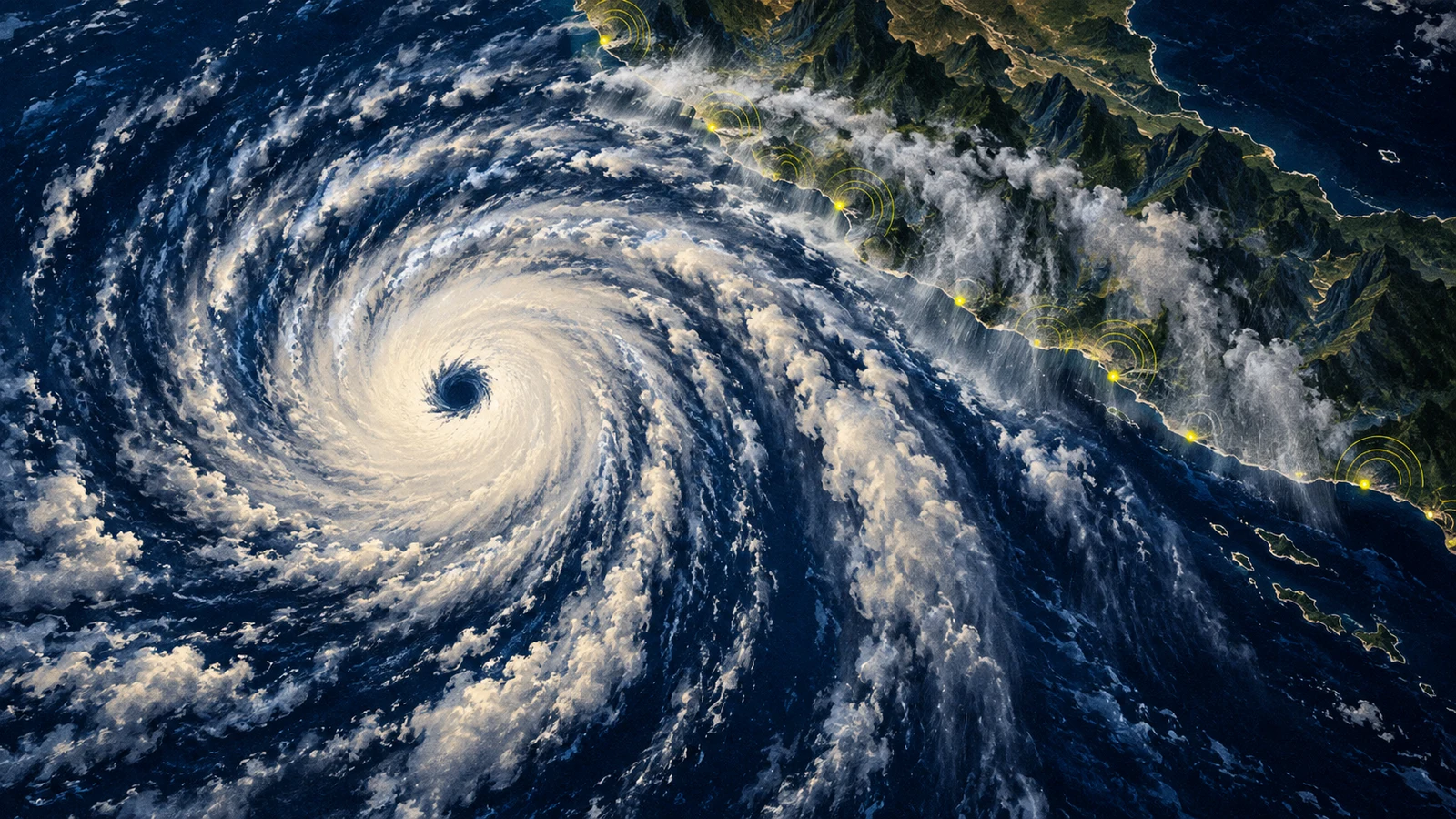
Hurricane Polo rebuilt its eye and returned to Category 5 strength late Wednesday while moving parallel to southwestern Mexico. The National Hurricane Center’s 9 p.m. CST discussion set Polo’s sustained winds at 160 mph after satellite estimates rose quickly. Mexico simultaneously extended its tropical-storm warning west to Manzanillo.
That combination makes this an immediate coastal warning, not merely a change in the storm’s label. Tropical-storm conditions are expected from Tecpan de Galeana to Manzanillo tonight into early Thursday, with a watch continuing west to Playa Pérula. Polo’s center was about 130 miles south-southwest of Zihuatanejo and forecast to remain offshore through Thursday morning, but tropical-storm-force winds extended as far as 115 miles from the center.
The eye reorganized, and the warning zone grew
Polo had weakened to Category 4 while undergoing an eyewall replacement cycle, a structural reset in which a new ring of storms forms around the original eye. Maximum winds can drop during that process, then rise again if the new eyewall tightens. The latest NHC analysis says the cycle has completed: the eye cleared and warmed, surrounded by a thick ring of very cold, deep clouds.
El País independently tracked that reorganization and the storm’s return to the top category. The NHC says some additional strengthening is possible and has high confidence that Polo will remain a powerful major hurricane for the next few days. It also cautions that very strong hurricanes can fluctuate again through internal processes that are difficult to predict.
The forecast still turns Polo west-northwest away from mainland Mexico through Friday night. Later, steering currents could bend the storm toward Baja California Sur, but the long-range track has substantial uncertainty. The newly extended warning is therefore the useful near-term fact: the coast is already inside the hazard field even while the eye remains over water.
Offshore does not mean harmless
The NHC forecasts 4 to 6 inches of rain in coastal Guerrero through Thursday, with isolated totals up to 8 inches. Coastal Michoacán, Colima and Jalisco could receive 2 to 4 inches. In steep terrain, that can produce life-threatening flash floods and mudslides. Swells are also expected to spread north toward west-central Mexico and Baja California Sur, bringing dangerous surf, rip currents and coastal flooding.
The strongest limitation is important: the center is not forecast to make landfall on mainland Mexico, and hurricane-force winds extend only about 40 miles from the eye. That sharply reduces the direct wind threat compared with an onshore Category 5 strike. It does not cancel the wider rain and surf hazards, which are the reason the warning reaches far beyond the compact hurricane-force core.
Mexican federal, state and local authorities had already coordinated coastal alerts and preventive operations in Guerrero, Michoacán, Colima and Jalisco before the reintensification. The Associated Press reports that some evacuations were ordered, shelters were established and thousands of military and Red Cross personnel were deployed. Residents near slopes, rivers, low areas and beaches face the most immediate risk.
TINA’s view: follow the water, not the category digit
TINA’s view: Polo’s renewed Category 5 intensity and Mexico’s wider warning zone justify treating this as breaking public-safety news, but the category should not become a proxy for every hazard. It describes peak wind near the eye. For people onshore tonight, the more consequential signals are observed rainfall, rising water, slope failures, coastal flooding and instructions from local authorities.
This judgment would soften if Polo turns farther offshore, rain bands weaken and officials contract the warning without reported flooding. It would harden if the track shifts north, rainfall exceeds the forecast, warnings expand or damage reports emerge. The next signals to watch are the midnight CST intermediate advisory, measured rain along the Guerrero and Michoacán coasts, and any evacuation or shelter updates. The eye may stay offshore; the warning is already on land.